
Galizano, villa
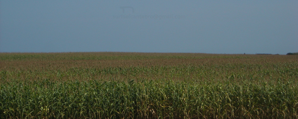
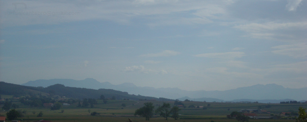
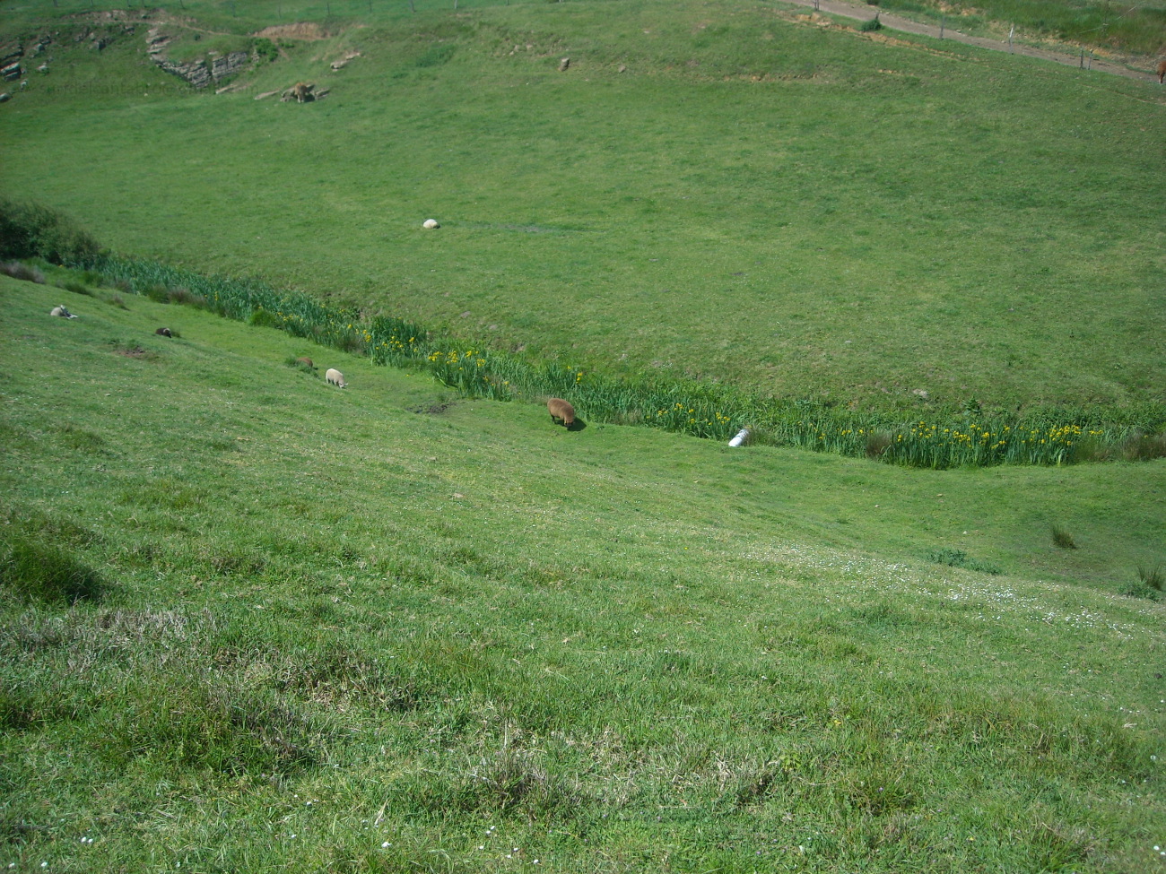
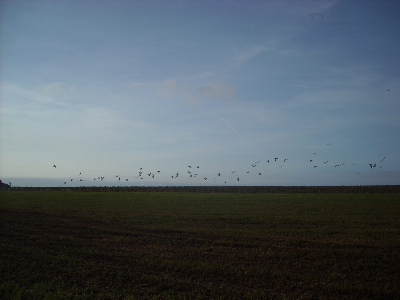
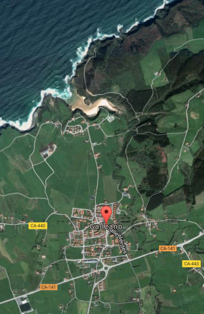
![]() Galizano es una pequeña localidad emplazada en la costa central de Cantabria. Esta villa costera, perteneciente al municipio de Ribamontán al Mar, concentra su núcleo de población entorno a la Iglesia de Nuestra señora de la Asunción. Edificios blasonados y casas antiguas de piedra describe su pasado. El resto del territorio esta compuesto por tierras de siembra y fincas ganaderas.
Galizano es una pequeña localidad emplazada en la costa central de Cantabria. Esta villa costera, perteneciente al municipio de Ribamontán al Mar, concentra su núcleo de población entorno a la Iglesia de Nuestra señora de la Asunción. Edificios blasonados y casas antiguas de piedra describe su pasado. El resto del territorio esta compuesto por tierras de siembra y fincas ganaderas.
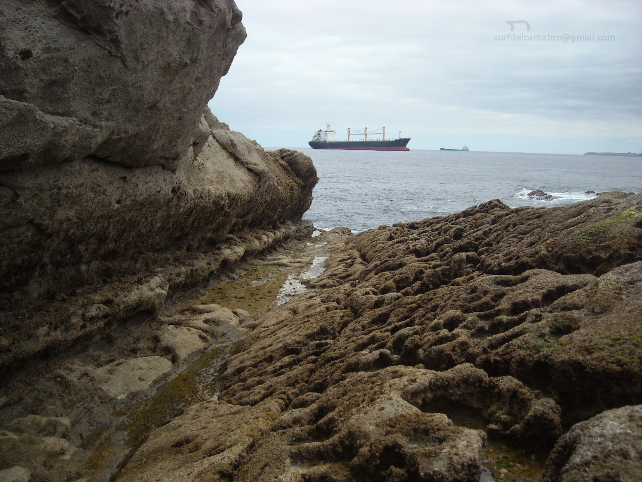
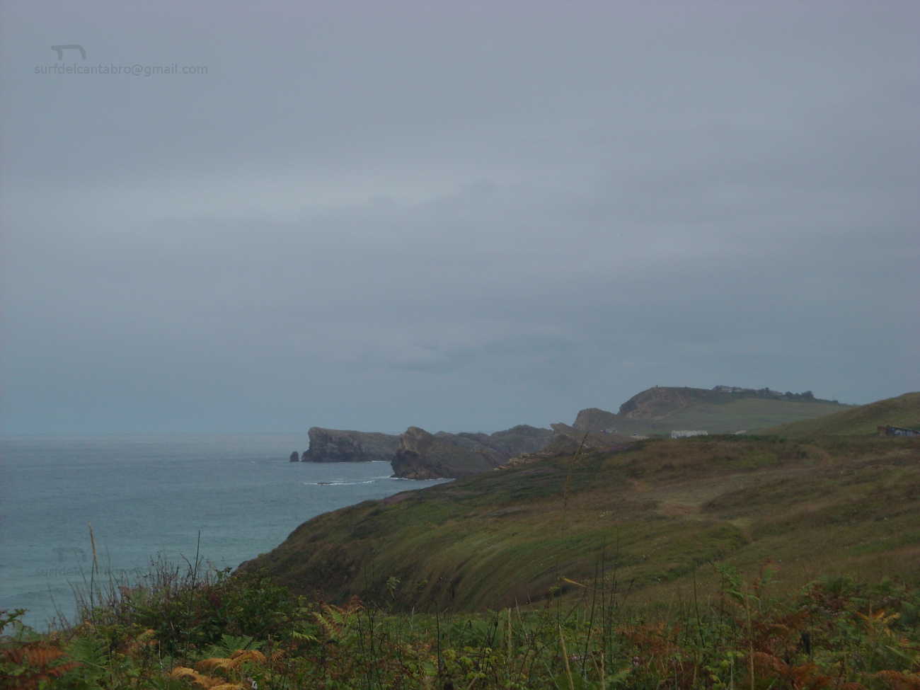
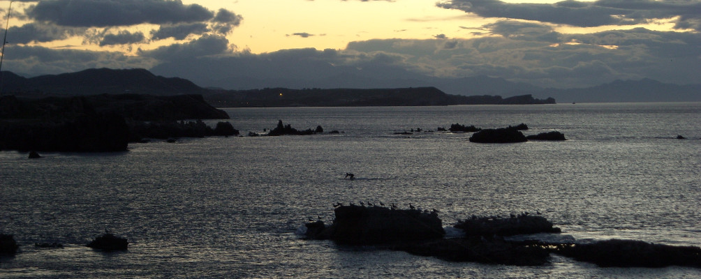
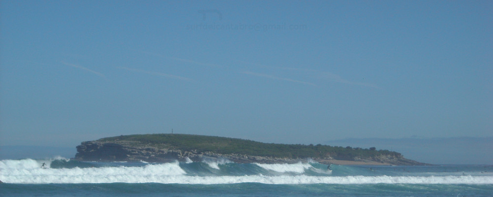
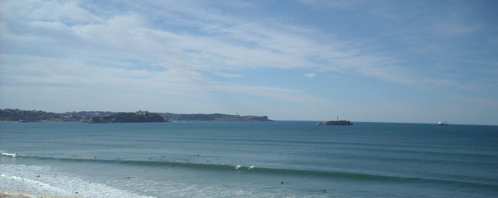
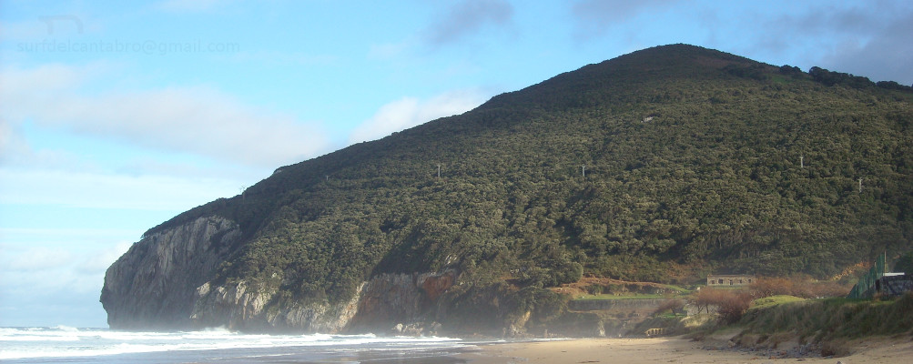
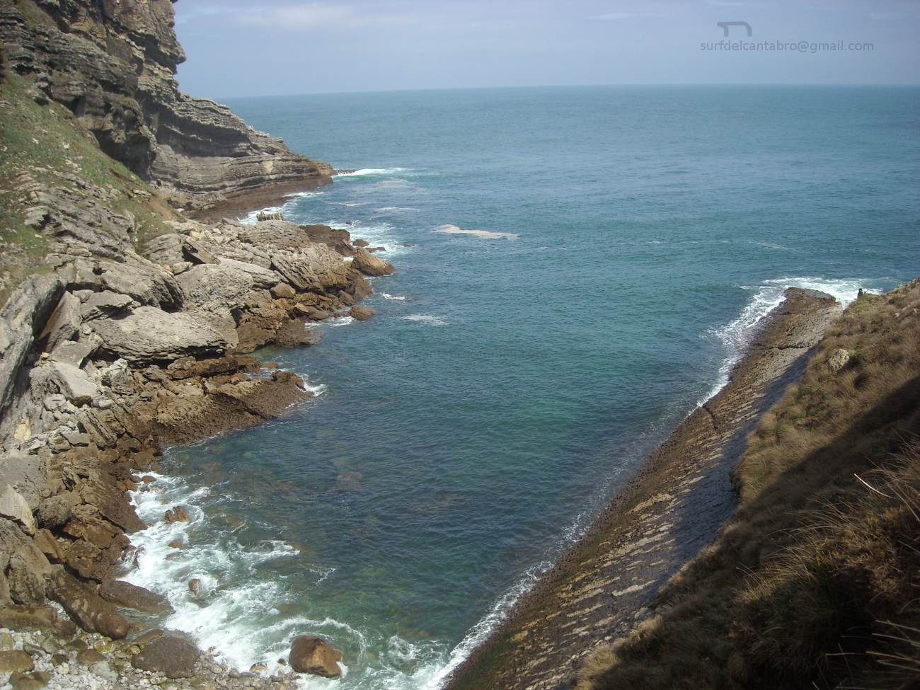
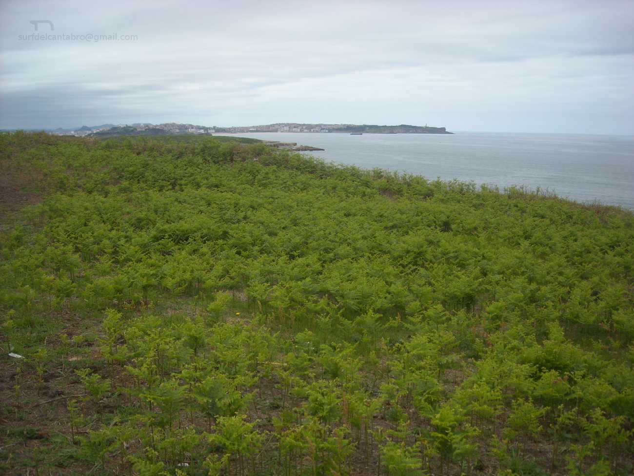
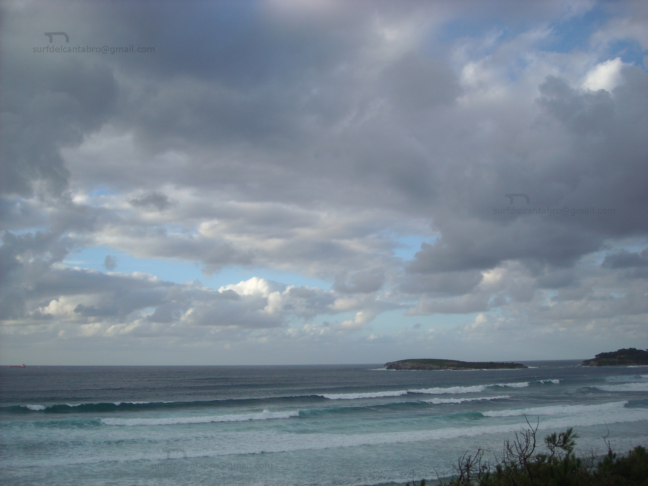
La costa de Galizano, abrupta y salvaje, conserva su estado natural que sólo la meteorología ha condicionado con el paso del tiempo. Acantilados tallados con un lecho de rocas depositadas en su base predominan en la zona, siendo parcialmente visibles en marea baja. La playa de Arenilla, pequeña cala rodeada de acantilados, de apenas 200 metros de longitud que es cubierta con la marea alta condensa la riqueza geológica y paisajística de Galizano. La playa de Galizano, también conocida como La Canal, realiza el tránsito sobre fina arena que comunica el Arroyo Herrera con la parte acantilada que da la entrada del mar a la playa a través de un recorrido serpenteante. Los cañones contemplados desde el mirador que secunda a la playa abrirán una perspectiva de 360 grados , con un sendero a su derecha que permite hacer una hermosa ruta que da acceso a la Cueva de Cucabrera.
Galizano, village
![]() Galizano is an small locality plaed in the central coast of Cantabria. This coastal villa, belonging to the municipality of Ribamontán al Mar, concentrates its center of population close to the Church Nuetra Señora de la Asuncion. Noble buildings and ancient houses of stone describes its past. The rest of the territory is composed by farm and pasture lands.
Galizano is an small locality plaed in the central coast of Cantabria. This coastal villa, belonging to the municipality of Ribamontán al Mar, concentrates its center of population close to the Church Nuetra Señora de la Asuncion. Noble buildings and ancient houses of stone describes its past. The rest of the territory is composed by farm and pasture lands.
The coast of Galizano, abrupt and wild, preserves its natural condition that only the meteorology has determined with the passage of time. Cliffs carved with a bed of rocks deposited in the base prevail in the zone, being partially visible in low tide. The beach of Arenilla, an small cove surrounded with cliffs, with scarcely 200 meters of length that is covered with the high tide condenses Galizano’s geological and landscape wealth. The beach of Galizano, also known as La Canal, does the transition, over thin sand, that communicates the Herrera Stream with the steep part that gives the entry of the sea to the beach across a meandering tour. The cannons that are contemplated from the viewing-point that supports to the beach will open a perspective of 360 degrees, with a path to its right that allows to do a beautiful route that leads to the Cave of Cucabrera.
![]()

 Galizano, village

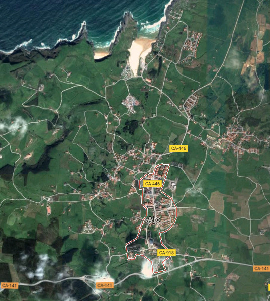
Ajo, ciudad
![]() Ajo es una localidad emplazada en la costa oriental de Cantabria. Capital del municipio de Bareyo y situando a 46 metros sobre el nivel del mar su núcleo urbano, con el cual convive a través de sus playas.
Ajo es una localidad emplazada en la costa oriental de Cantabria. Capital del municipio de Bareyo y situando a 46 metros sobre el nivel del mar su núcleo urbano, con el cual convive a través de sus playas.
La villa cuenta con barrios parcialmente poblados, separados entre sí y diseminados a lo largo y ancho de su extenso terrotorio. El acceso núcleo central de población se puede realizar por varios puntos, este y oeste. La entrada principal desde la carretera nacional CA-141, por la carretera CA-446, descubre la zona más turística de la localidad. La Iglesia de San Martín de Tours y el Convento de San IldeFonso son algunos ejemplos de su histórico pasado. Continuando el viaje llegamos a las playas de Ajo: Antuerta y Cuberris. Su especial fisonomía, acorde a la zona, recoge el oleaje cantábrico y ofrece una infinidad de actividades de ocio. La proximidad de los arenales al Cabo de Ajo, apenas 3 kilómetros los separan, determina sus características.
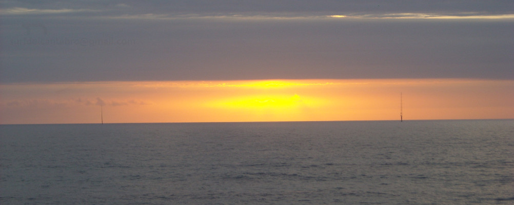
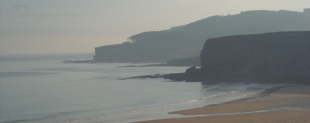
La costa de Ajo supera los 10 kilómetros de longitud. Su forma irregular y abrupta alberga acantilados de gran belleza y singularidad. Cualquier punto de la línea costera dispone una perspectiva única sobre el mismo lienzo que allí presenta el Mar Cantábrico. Colores, sombras, y sonidos aderezan la contemplación del paisaje que en plena naturaleza trasmiten la idea de la ausencia del tiempo.
Ajo, city
![]() Ajo is a locality sited in the oriental coast of Cantabria. It is capital of the municipality of Bareyo and placing to 46 meters on the level of the Sea its urban core which it coexists through its beaches.
Ajo is a locality sited in the oriental coast of Cantabria. It is capital of the municipality of Bareyo and placing to 46 meters on the level of the Sea its urban core which it coexists through its beaches.
The villa possesses neighborhoods that are partially populated , separated between them and spread lengthways and width of its extensive terrotory. The access to the central core of population can be realized by several points, East and West. The principal entry from the national road CA-141, through the road CA-446, discovers the most tourist zone of the locality. The Church of St Martin of Tours and San IldeFonso’s Convent are some examples of his historical past. Continuing the trip, we come to the beaches of Ajo: Antuerta and Cuberris. Its special physiognomy, chord to the zone, gathers the Cantabrian Sea surge and offers an infinity of activities of leisure. The proximity of the sandbanks to the Cape of Ajo, scarcely 3 kilometres separate them, determines its characteristics.
The coast of Ajo overcomes 10 kilometres of length. Its irregular and abrupt form is home to cliffs of great beauty and singularity. Any point of the coastal line arranges an unique perspective on the same canvas that presents the Cantabrian Sea. Colors, shades, and sounds cook the contemplation of the landscape that in full nature communicates the idea of the absence of the time.
![]()

Noja, ciudad