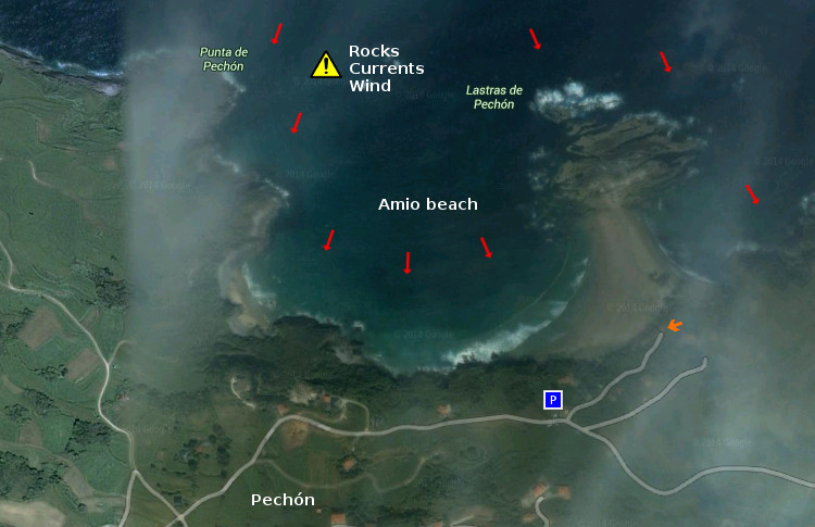
Playa El Pedrero, localización
![]() La playa El Pedrero se encuentra en la localidad de Pechón, perteneciente al municipio de Val de San Vicente; en la costa occidental de Cantabria. La ruta oficial termina en el pueblo de Pechón. Desde allí nos encaminamos por la carretera nacional CA-380 hacia el Camping, situado a la entrada de la playa. Para los viajes cuyo origen sea en el oeste, Oviedo, el Camping y la playa aparecerán antes del final del trayecto y del centro de la localidad. Se muestran a continuación como puntos de partida: Oviedo, Palencia, Santander y Bilbao. Comenzando el viaje por autovía y finalizando el recorrido por la misma carretera nacional en todos los trayectos.
La playa El Pedrero se encuentra en la localidad de Pechón, perteneciente al municipio de Val de San Vicente; en la costa occidental de Cantabria. La ruta oficial termina en el pueblo de Pechón. Desde allí nos encaminamos por la carretera nacional CA-380 hacia el Camping, situado a la entrada de la playa. Para los viajes cuyo origen sea en el oeste, Oviedo, el Camping y la playa aparecerán antes del final del trayecto y del centro de la localidad. Se muestran a continuación como puntos de partida: Oviedo, Palencia, Santander y Bilbao. Comenzando el viaje por autovía y finalizando el recorrido por la misma carretera nacional en todos los trayectos.
Beach El Pedrero, localization
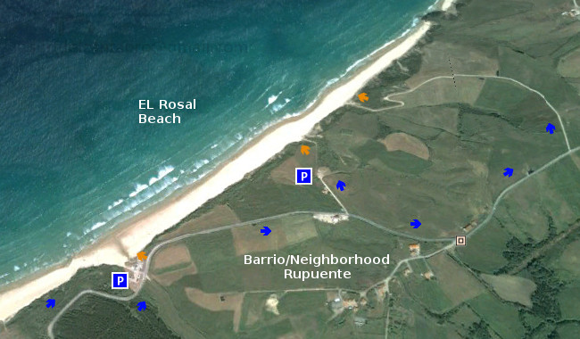
![]() The beach of El Pedrero is in the locality of Pechón, belonging to the municipality of Val de San Vicente; on the western coast of Cantabria. The route finishes in the town of Pechón. From there, we have to go for the national road CA-380 towards the Camping; which is placed to the entry of the beach. For the travels which origin is in the west, Oviedo, the Camping and the beach will appear before the end of the tour and of the center of the locality. Shown below as starting points: Oviedo , Palencia , Santander and Bilbao . Beginning the trip for motorway and finishing the tour for the same national road in all the options.
The beach of El Pedrero is in the locality of Pechón, belonging to the municipality of Val de San Vicente; on the western coast of Cantabria. The route finishes in the town of Pechón. From there, we have to go for the national road CA-380 towards the Camping; which is placed to the entry of the beach. For the travels which origin is in the west, Oviedo, the Camping and the beach will appear before the end of the tour and of the center of the locality. Shown below as starting points: Oviedo , Palencia , Santander and Bilbao . Beginning the trip for motorway and finishing the tour for the same national road in all the options.
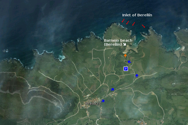
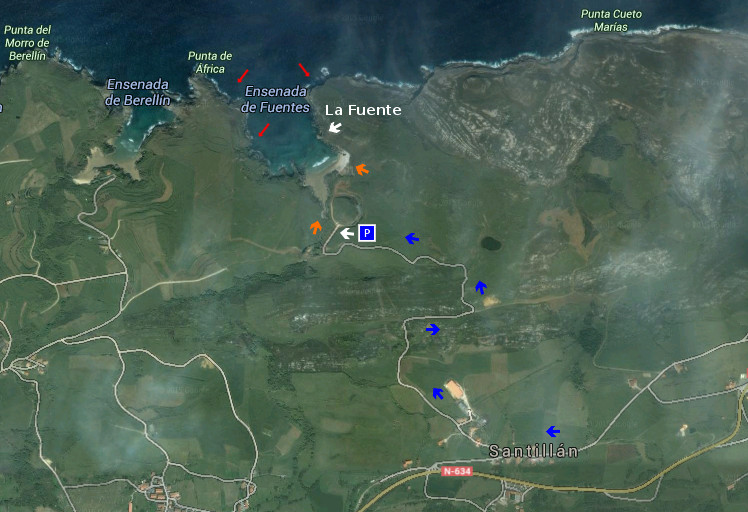
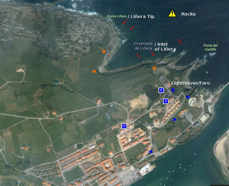
 Localización/Localization