
Circuito de Parayas
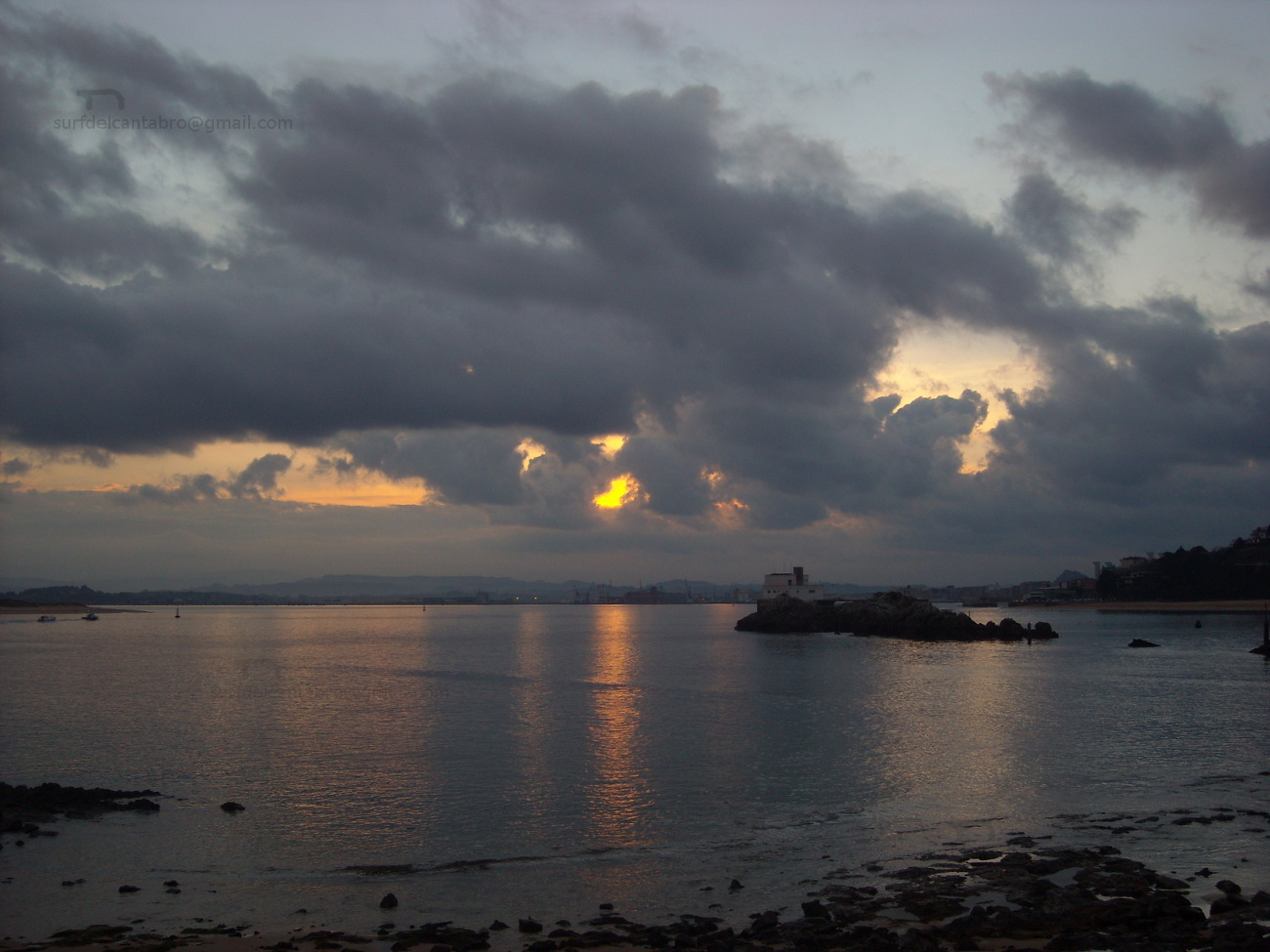
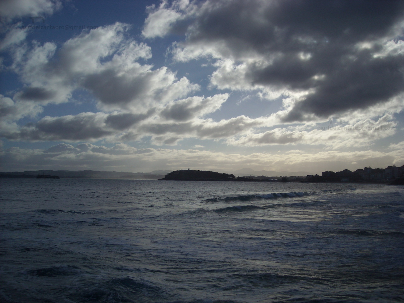
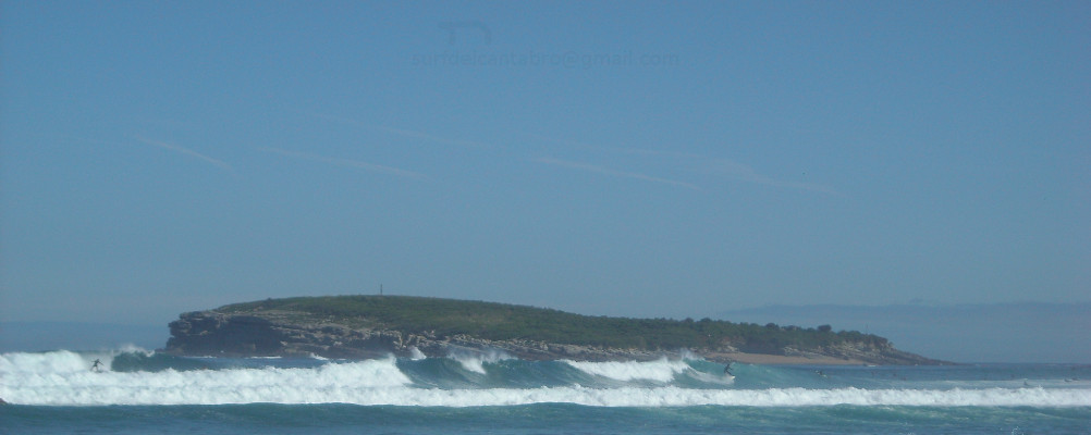
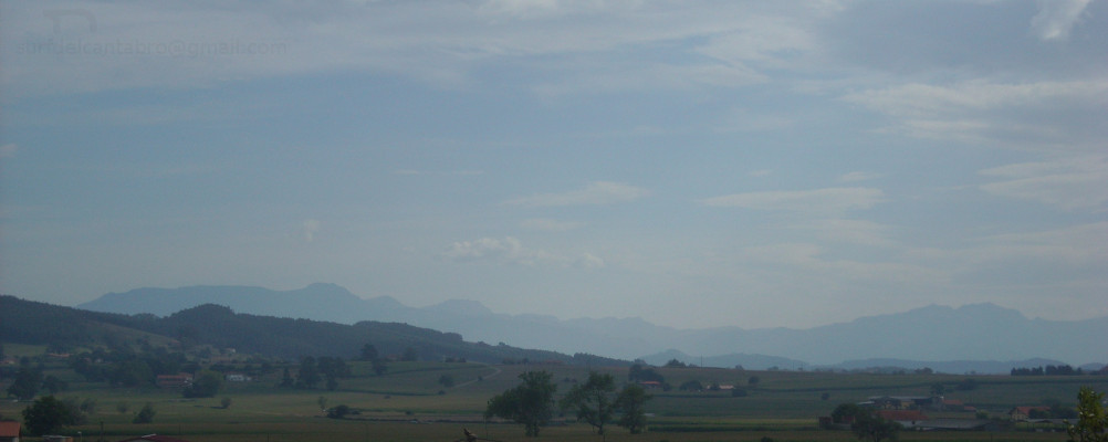
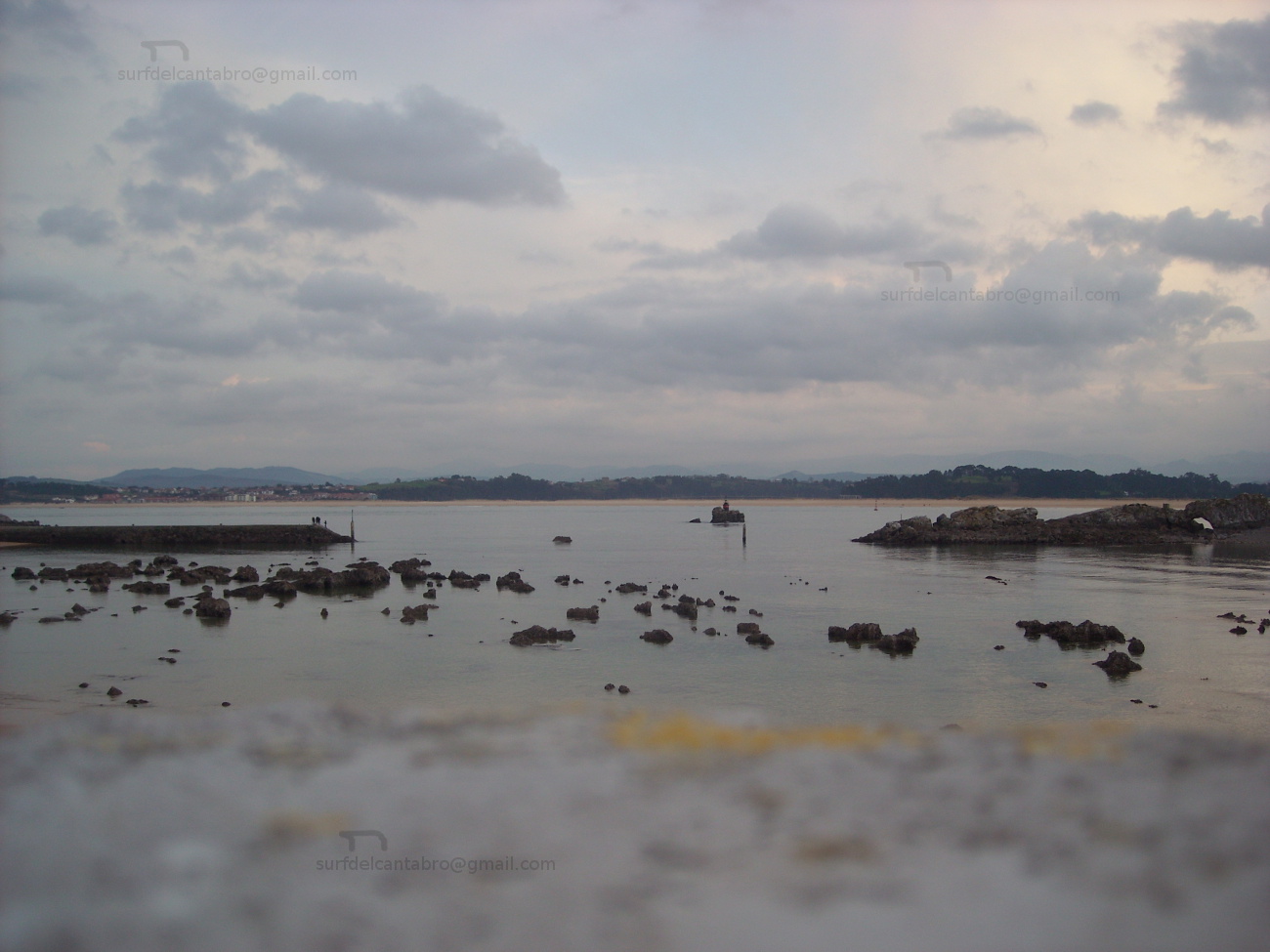
![]() El Circuito de Parayas, también conocido como Circuito del Aeropuerto, es una senda ciclable y peatonal que rodea el Aeropuerto de Santander. La longitud de la vía, con 6,83 km, contiene este gran área. Recorriendo las afueras de las localidades de Maliaño y Santander, atraviesa el Polígono de Raos y su Puerto Deportivo, La Punta de Parayas, los exteriores del aeropuerto. Finaliza o comienza, pues el circuito es bidirecional, con una parte de la senda que transcurre paralela a la autovía que da acceso a la capital cántabra.
El Circuito de Parayas, también conocido como Circuito del Aeropuerto, es una senda ciclable y peatonal que rodea el Aeropuerto de Santander. La longitud de la vía, con 6,83 km, contiene este gran área. Recorriendo las afueras de las localidades de Maliaño y Santander, atraviesa el Polígono de Raos y su Puerto Deportivo, La Punta de Parayas, los exteriores del aeropuerto. Finaliza o comienza, pues el circuito es bidirecional, con una parte de la senda que transcurre paralela a la autovía que da acceso a la capital cántabra.
La travesía, abierta sobre un carril de dos metros de anchura, próxima a carretera ocupa el 70% del trazado. La parte interior de este, dispone de un entorno natural singular que forma parte del extremo oeste de la Bahía de Santander. Contiguo al mirador de la bahía, se encuentra una zona de bosque y humedal ajardinada. La comunicación entre ambas zonas se realiza a través de un paso subterráneo, habilitado allí donde el aeropuerto y la bahía se reúnen. Este paso está operativo desde las 10:00 A.M hasta las 20:00 P.M, permaneciendo cerrado fuera del horario. El camino puede ser completado entre 30 y 50 minutos, ya sea en bicicleta o a pie. Tiempo determinado por la voluntad del caminante, relajado o intenso, pero siempre acompañado por la libertad de un espacio natural y abierto.
Parayas circuit
![]() The Circuit of Parayas, also known as Airport`s Circuit, is a cyclable and pedestrian path that surrounds the Airport of Santander. The length of the route, with 6,83 km, contains this great area. Crossing the soutskirts of the localities of Maliaño and Santander, it traverses the Polygon of Raos and its yachting port, The Tip of Parayas, the exteriors of the airport. It finishes or begins, since the circuit is bidirecional, with a part of the way that passes parallel to the highway that leads to the Cantabrian capital.
The Circuit of Parayas, also known as Airport`s Circuit, is a cyclable and pedestrian path that surrounds the Airport of Santander. The length of the route, with 6,83 km, contains this great area. Crossing the soutskirts of the localities of Maliaño and Santander, it traverses the Polygon of Raos and its yachting port, The Tip of Parayas, the exteriors of the airport. It finishes or begins, since the circuit is bidirecional, with a part of the way that passes parallel to the highway that leads to the Cantabrian capital.
The voyage, opened on a rail of two meters of width, next to road occupies 70 % of the tracing. The interior part of this, has a natural singular environment that forms a part of the West extreme of the Bay of Santander. Contiguous to the viewing-point of the bay, one finds a zone of forest and wetland landscaped. The communication between both zones is realized across an underground, qualified there where the airport and the bay are met. This passage is operative from 10:00 A.M up to 22:00 P.M, remaining closed out of the schedule. The way can be completed between 30 and 50 minutes, whether to walk or bicycle. Time determined by the will of the wayfarer, relaxed or intense, but always accompanied by the freedom of a natural and opened space.
![]()
![]()
![]()
![]()
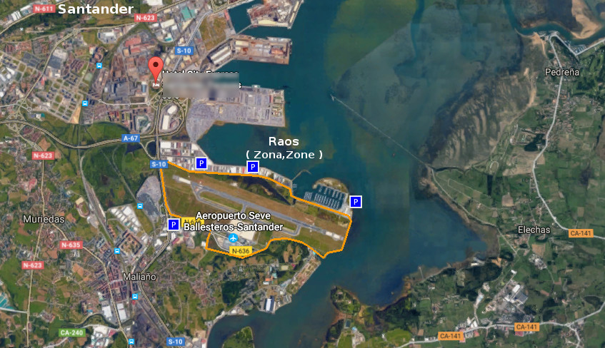
Playa El Puntal, localización
![]() La playa El Puntal, perteneciente al municipio de Ribamontán al Mar, es accesible desde la localidad de Somo. Se muestran a continuación las rutas desde Oviedo, Palencia, Santander ó Bilbao. Comenzando el viaje por autovía y finalizando el recorrido por carretera nacional en todos los trayectos.
La playa El Puntal, perteneciente al municipio de Ribamontán al Mar, es accesible desde la localidad de Somo. Se muestran a continuación las rutas desde Oviedo, Palencia, Santander ó Bilbao. Comenzando el viaje por autovía y finalizando el recorrido por carretera nacional en todos los trayectos.
El Puntal beach, localization
![]() El Puntal beach, belonging to the municipality of Ribamontán al Mar, is accessible from the locality of Somo. Are shown the routes from: Oviedo, Palencia, Santander or Bilbao. Beginning the trip through highway and finishing it by national road in all the journeys.
El Puntal beach, belonging to the municipality of Ribamontán al Mar, is accessible from the locality of Somo. Are shown the routes from: Oviedo, Palencia, Santander or Bilbao. Beginning the trip through highway and finishing it by national road in all the journeys.
 Localización/Localization


![]()
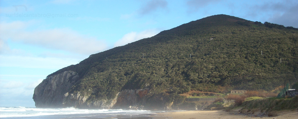
El Puntal, acceso
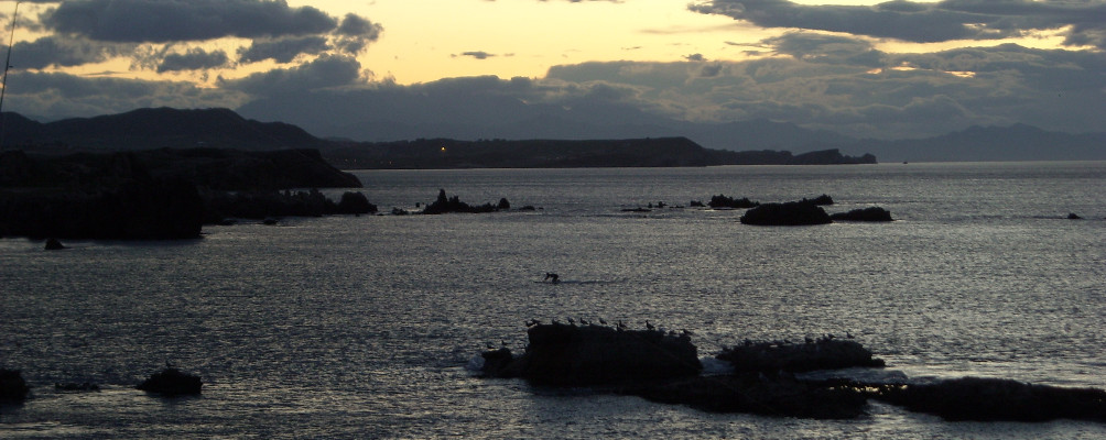
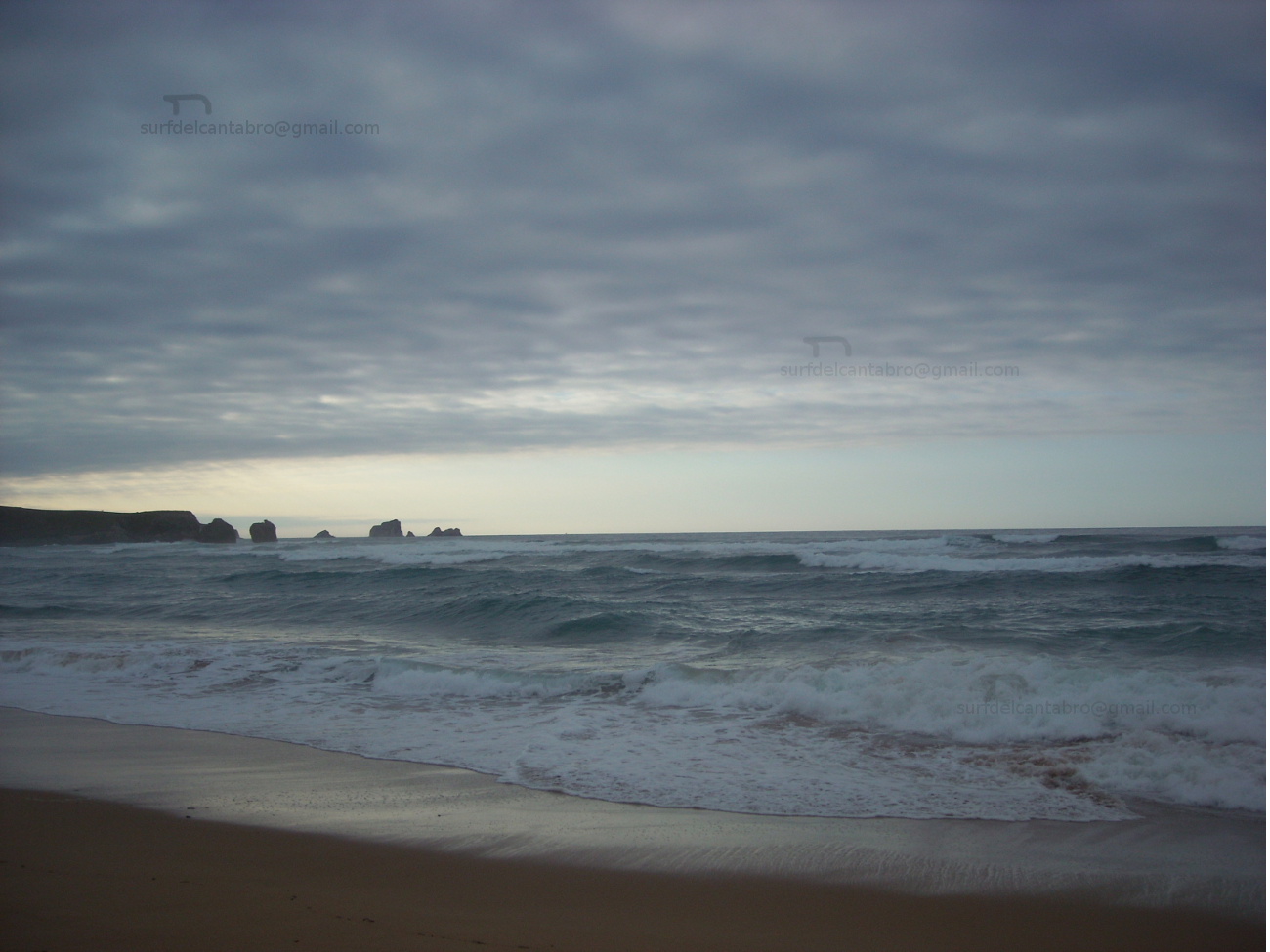
![]() La playa El Puntal, emplazada en la entrada de la Bahía de Santander, esta rodeada parcialmente por mar y comunicada con tierra firme a través de un extenso arenal. Los accesos a la playa se realizan desde la localidad de Somo, contanto con múltiples puntos de entrada. Los caminos que conducen al Puntal se encuentra al norte y sur de la lengua de arena.
La playa El Puntal, emplazada en la entrada de la Bahía de Santander, esta rodeada parcialmente por mar y comunicada con tierra firme a través de un extenso arenal. Los accesos a la playa se realizan desde la localidad de Somo, contanto con múltiples puntos de entrada. Los caminos que conducen al Puntal se encuentra al norte y sur de la lengua de arena.
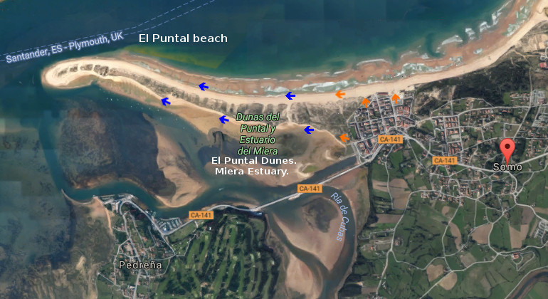
El Puntal, access
![]() The beach El Puntal, located in the entry of the Bay of Santander, is partially surrounded by sea and communicated with mainland across an extensive sandbank. The accesses to the beach are realized from the locality of Somo, with multiple entry points. The paths that lead to the Puntal is in the northern part and south of the sand tongue.
The beach El Puntal, located in the entry of the Bay of Santander, is partially surrounded by sea and communicated with mainland across an extensive sandbank. The accesses to the beach are realized from the locality of Somo, with multiple entry points. The paths that lead to the Puntal is in the northern part and south of the sand tongue.
Acceso/Beach Access
![]()