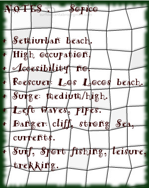
Sopico, lugar
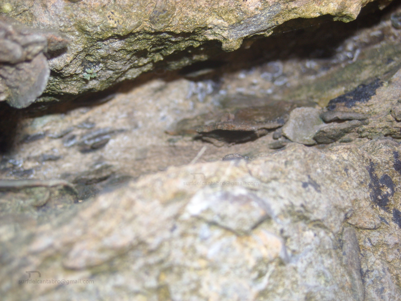
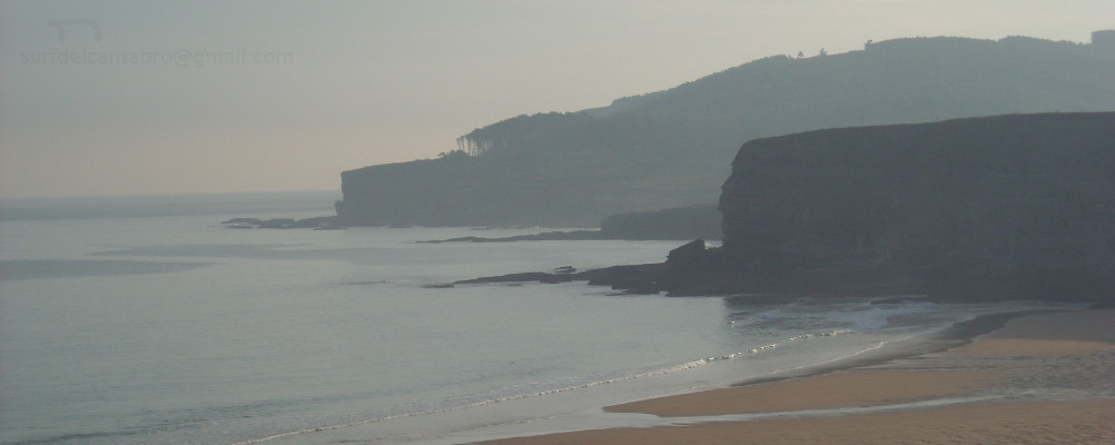
![]() Sopico, emplazamiento localizado en la localidad de Suances, es un pequeño cabo que separa las playas de Los Locos y La Tablía. La marea baja descubre las rocas que se apilan en la base del acantilado, quedando la arena cubierta por el agua.
Sopico, emplazamiento localizado en la localidad de Suances, es un pequeño cabo que separa las playas de Los Locos y La Tablía. La marea baja descubre las rocas que se apilan en la base del acantilado, quedando la arena cubierta por el agua.
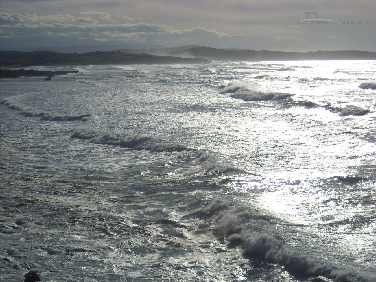
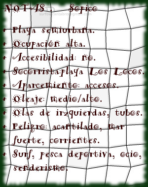
Al acceso a este punto de olas se realiza por las playas colindantes. Destacan las fuertes corrientes y el oleaje, proporcionando olas prácticamente durante todo el año. La ola característica de Sopico abre a izquierdas, manteniendo la misma calidad sin importar las mareas. Aparecen olas cortas y maniobrables, alternadas con olas más profundas y de recorrido medio/largo. Debido a sus características tiene una ocupación alta, siendo exigido respetar las normas y turnos.
La cima de Sopico cuenta con un mirador panorámico que abre al caminante la amplitud de la Ensenada de Cabrera. La La contemplación del entorno recorre desde Suances a la derecha hasta Punta Ballota cerrando extremo izquierdo, entreteniendo la mirada sobre el horizonte; que mostrará la naturaleza del Mar Cantábrico.

Sopico, place
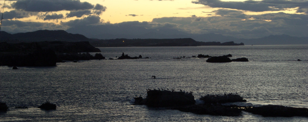
![]() Sopico, emplacement located in the locality of Suances, is a small end that separates the beaches of Los Locos and La Tablía. The low tide discovers the rocks that are piled up in the base of the cliff, staying the sand covered by the water.
Sopico, emplacement located in the locality of Suances, is a small end that separates the beaches of Los Locos and La Tablía. The low tide discovers the rocks that are piled up in the base of the cliff, staying the sand covered by the water.
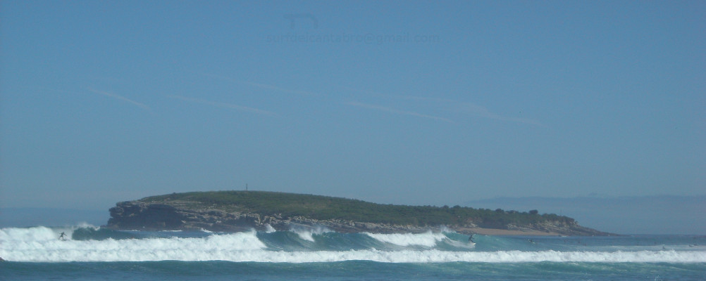
The access to that point of waves it is realized by the adjacent beaches. The strong currents and the surge stand out, providing waves practically all the year round. The wave typical Sopico’s opens to left sides, supporting the same quality without importing the tides. There appear short and manoeuvrable waves alternated with deeper waves and of meium tour. Due to its characteristics it has a high occupation, being demanded the respect to the procedure and shifts.
The top of Sopico has a panoramic viewing-point that opens the wayfarer the extent of Cabrera’s Inlet. The contemplation of the environment crosses from Suances to the right up to Ballota Tip closing the left wing, entertaining the look on the horizon; that will show the nature of the Cantabrian Sea.